
Judge Vacates Fines to Bottomley Companies due to signature technicality from DEQ
Please, read this article and download this report to read the latest developments in the Ramey Creek issues and the Bottomley Companies.
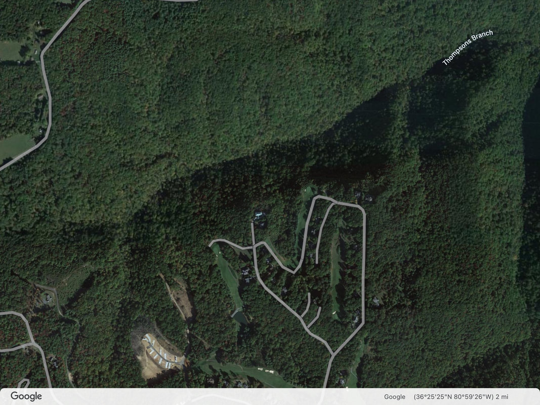
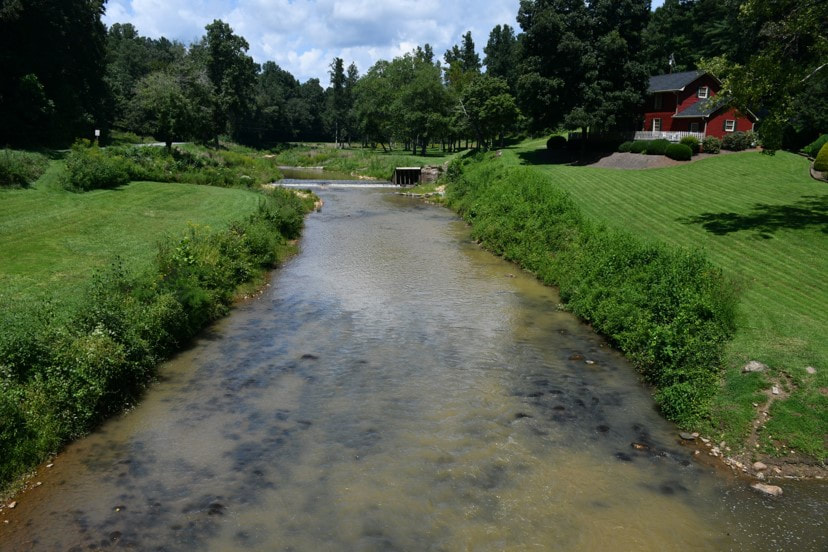
Mitchell River Update as of December 2022
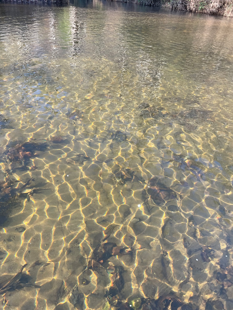
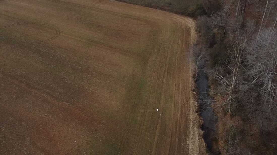
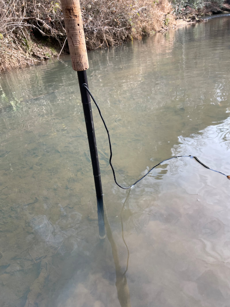
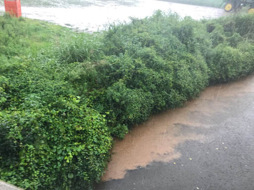
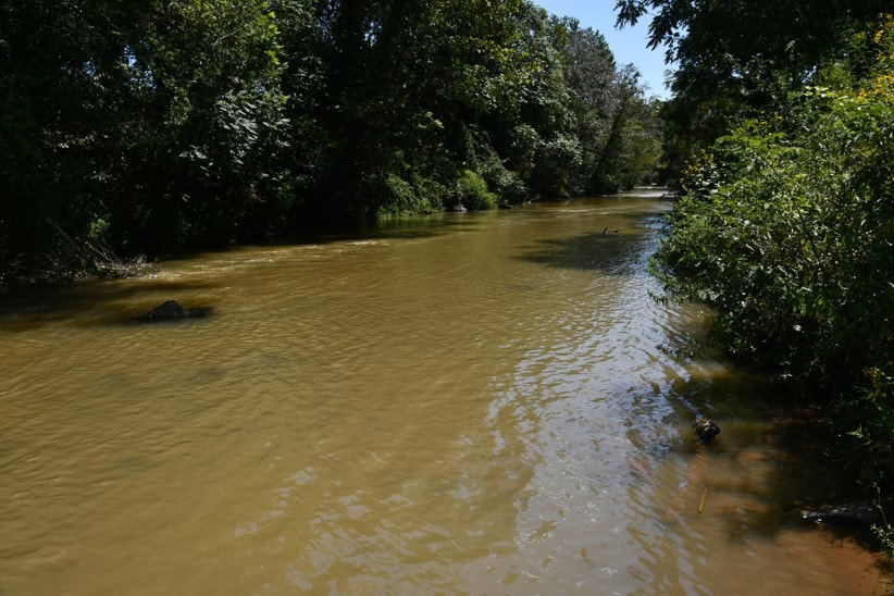
In early December several volunteers went to the Mitchell River and to Thompson Branch / headwaters of the Mitchell to investigate the sediment situation further. This summer sediment filled the Mitchell River form two main sources, Olde Beau golf resort new RV Park construction in Roaring Gap and agricultural fields the Mitchell Valley above the delayed harvest. Volunteers checked the delayed harvest area wading into the Mitchell and doing drone photography. The pictures show the big cabbage field right above the DH section had no buffer zone at the bottom of it and farming was done to the edge of the stream. The cabbage field slopes down into the Mitchell and Potters Creek, so the rain brings sediment down into that section. There is 16 inches of sediment covering the bottom of Potters creek and the Mitchell in that area. We did send the photos and location to Department of Water Quality to investigate. However, they keep discounting any evidence we provide. They cite reasons like the need to be present to see the sediment flowing off the fields before they do anything, photos and videos don’t count. The rivers transport sediment naturally and they have to be able to prove violations beyond any doubt to pursue the source of the sediment. Yet the DWR has not stepped into the water or walked into the fields to investigate the sources of the sediment or make a simple judgement of where it seems to be coming from. They have only done turbidity testing at various locations with negative results. Since all the fields have a winter cover and there is no farming activity, there is very little sediment coming out of the fields til the spring plowing begins. Below are some photos showing the fields, the sediment covering the bottom of the Mitchell and Potters creek as well as the lack of any buffer zone and farming to the edge of the water.
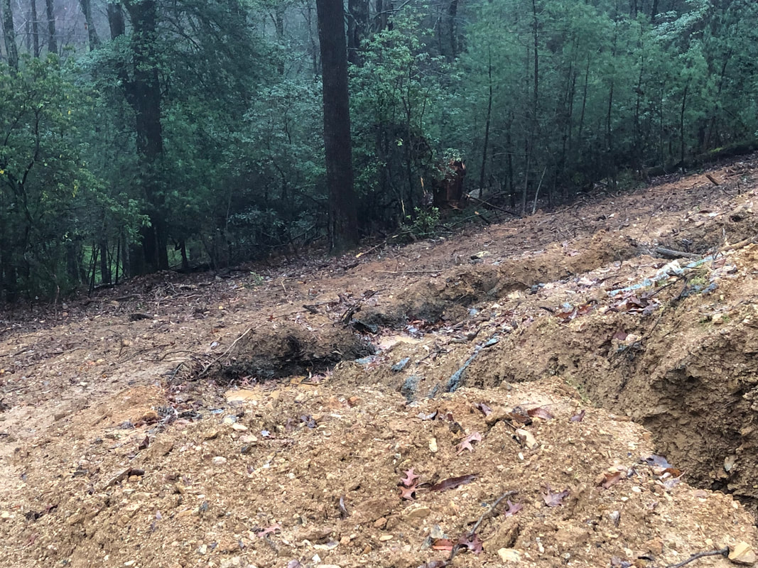
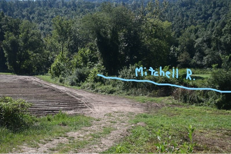
As for the Headwaters of the Mitchell /Thompson Branch, volunteers were only able to get half way due to trail conditions. There was no sediment was present in the stream. This could be due to the mitigation that Olde Beau golf resort RV park has put in place since our complaint to DWR and the involvement of DEMLR. The caretakers of the property noted that they did have sediment in the stream this summer but it has since washed away. Volunteers also checked other sections of the Mitchell and noted sediment 10 inches deep by Haystack Rd below the Devotion area where other cabbage fields were farmed this summer.
Heavy sediment
|
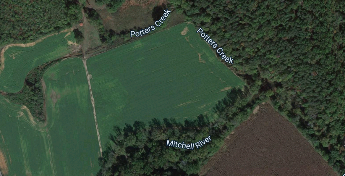
Parcel view of Cabbage field
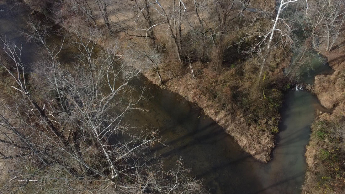
Confluence of Potters Creek and Mitchell River
Picture of Potters Creek
|
16 inch deep sediment
|
Olde Beau RV Park Sediment Impacts Mitchell River
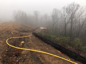
Olde Beau Mitigation
|
Olde Beau Drainage Map
Lot 4 Photo
|
Mitchell River Impacted by Sediment from Agriculture sources
|
|
Below photos show the effect of sediment on the Delayed Harvest Section on August 27, 2022
|
|
|
|
Letters from BRTU to DEQ regarding the Mitchell River Sediment issue
|
|
You can do your part by contacting the NCWRC and NCDEQ to let your voice be heard about protecting our waters. Ask them to investigate the sediment issues and take action against water quality violations.
|
Wildlife Resource Commission:
Kin Hodges NC Wildlife Resources Commission 179 Stone Bridge Road Mt. Airy, NC 27030 NC Department of Environmental Quality
Elizabeth Biser Secretary of NC Dept of Environmental Quality 217 Jones St. Raleigh, NC 27603 Phone: 919-707-8622 Email: [email protected] |
NC Department of Environmental Quality Division of Water Resources
450 W. Hanes Mill Rd, Suite 300 Winston-Salem, NC 27105 Lon Snider [email protected] (336) 776-9700 Jenny Graznak [email protected] (336) 776-9695 When writing about the Mitchell River Sediment, please, download the talking points to help write your letter. |